Web Developer & UI Designer
Sogelink
Company
Sogelink supports all players in the infrastructure and construction ecosystem with software, cloud and mobile solutions.
Sogelink provides solutions for more than 37k customers.
My role
As a UI Designer & R&D Full-Stack Web Developer, I designed and developed may components and webpages, as well as developed POC related to 2D and 3D on the web.
Realisations
Reusable components
Reusable components
Design and develop highly-reusable, maintainable and performant components, meeting with the design team and other product teams.
Forms
Forms
Design and develop form components for a better UX.
Icons
Icons
Design new business and technical monochrome and bi-tone icons for a land surveyor application.
GeoServer API
GeoServer API
Use the GeoServer API to update PCRS and Geometry Layers in real-time.
2D / 3D file viewers
2D / 3D file viewers
Develop POCs related to 2D and 3D files visualization in web browsers (DAE, DXF, DWG).
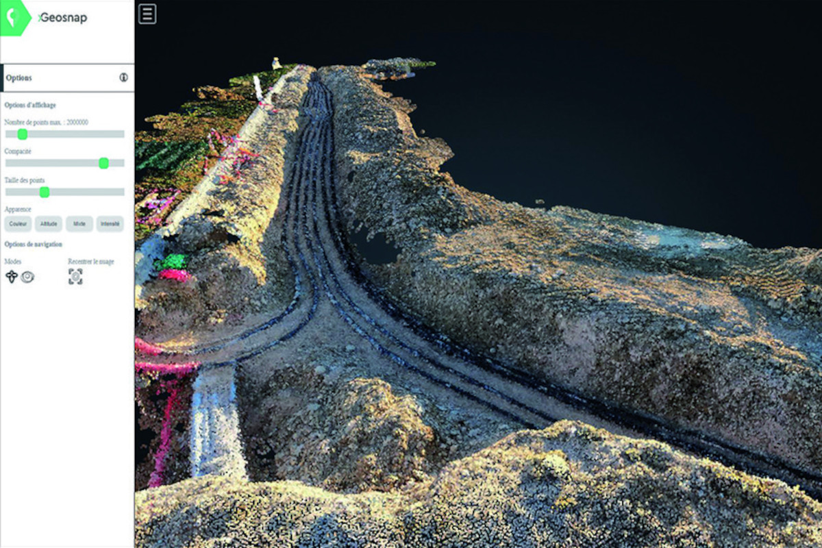
Scatter plots
Scatter plots
Optimize 3D scatter plots filter and transformation algorithms.
Products
Based on GeoServer, MapLink is a product used internally, externally, and as part of another product DICT.fr. DICT.fr offers construction work declaration, which is mandatory in France. Used externally or internally, Maplink permits companies to manage their networks, update them as build was done.
Java
Spring
Angular
Geosnap provides land surveyors with a solution where construction workers can take photos of their advancement, send them to the platform to build a scatter plot and 3D model, then let the land surveyor to finalize the plans and update the networks. Along with productivity, Geosnap gives land surveyors project management, cloud data filtering and consolidation, cloud 3D model build...
Java
Spring
Angular
Python